Orderly Streams
Stream order is a way to categorise river reaches by size. In this post we see how to add stream orders to a derived stream network.
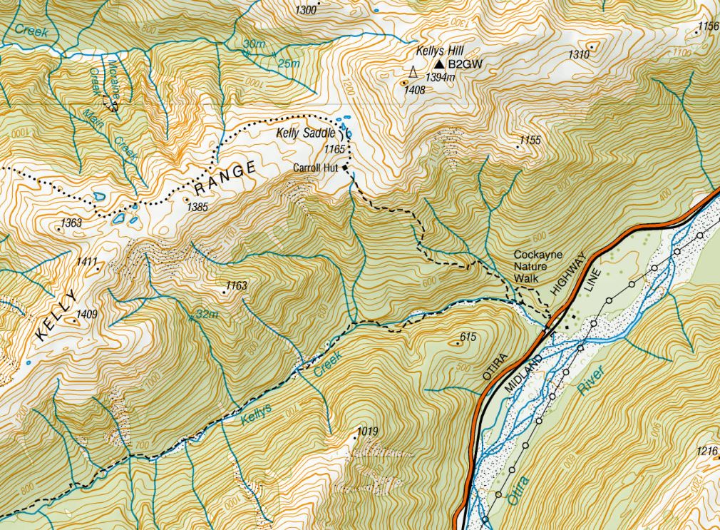
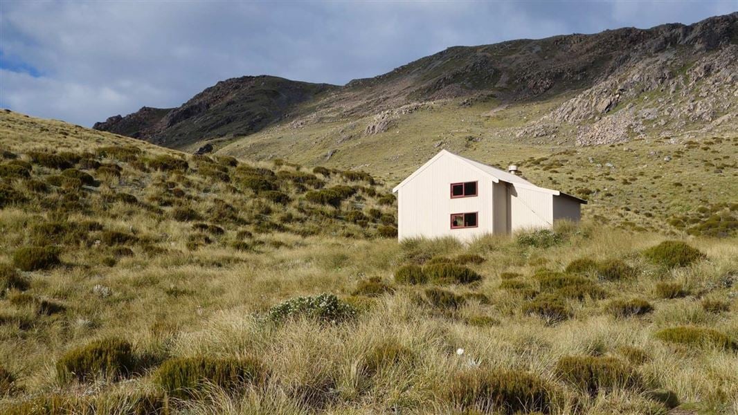
As the temperatures warm up, the tramping season has already gotten underway in our house so keen daughter Islay recently dragged me up the short but steep track to Carroll Hut in Arthur’s Pass National Park, just north of Otira of State Highway 73:
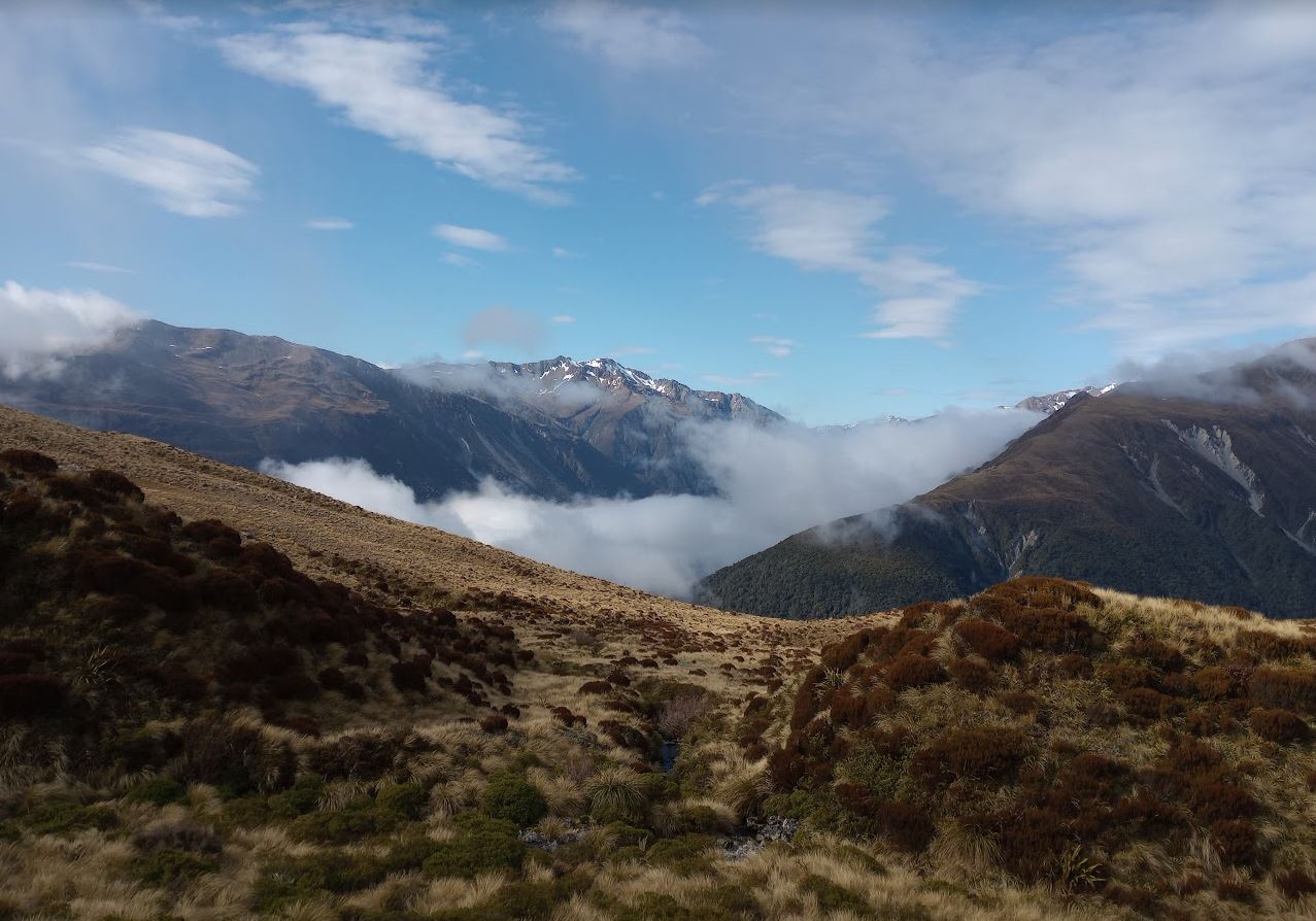
While we weren’t on the main divide here, we were above treeline and in the area where you could expect to find small headwater streams and the occasional scenic tarn:
One of the things I really enjoy about tramping is that it gives you some time to finally think about a few things, unfettered by the daily stress of the to-do list. This time, my thoughts turned (amongst other things) to streams, and in particular, stream order.
Stream order is a way to categorise streams within a hierarchy of relative size. If you picture the streams in a catchment as all being connected together and building up a linear network, you’re partially on your way. Starting near the catchment boundary, we first encounter order 1 streams, being those headwater streams that seem to start from nowhere. As we move down the catchment, more streams combine to become larger rivers, and the order increases.
As we move down the catchment, these 1st order streams join up to make 2nd order streams, which then join up to make 3rd order and up we go. There are a few simple rules that help determine stream order:
- First order streams are the headwaters of streams, typically high in the catchment and small in size;
- When two first order streams join at a confluence, they combine to make a second order stream;
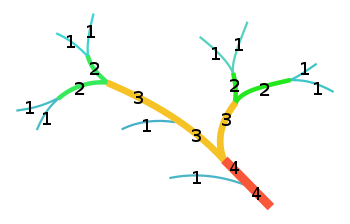
- If a first order stream flows into a second order stream, it remains second order. The order only increases when two reaches of the same order join.
This diagram might help to explain this:
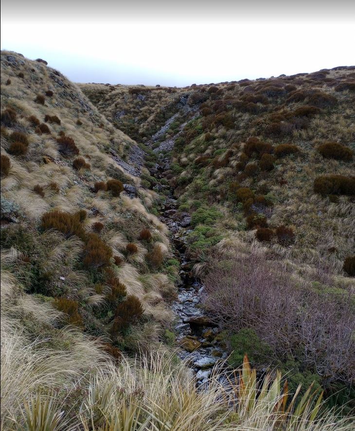
We have to start at the catchment boundary and move down for this to work properly. Up at Carroll Hut we were definitely in stream order 1 territory – the places where rivers begin:
This (sadly unnamed but not unloved) stream flows down past the hut:
and then basically goes over a cliff:
before precipitously dropping 500 m over the course of about 1.5 horizontal kms to eventually meet Kelly Creek (3rd order),
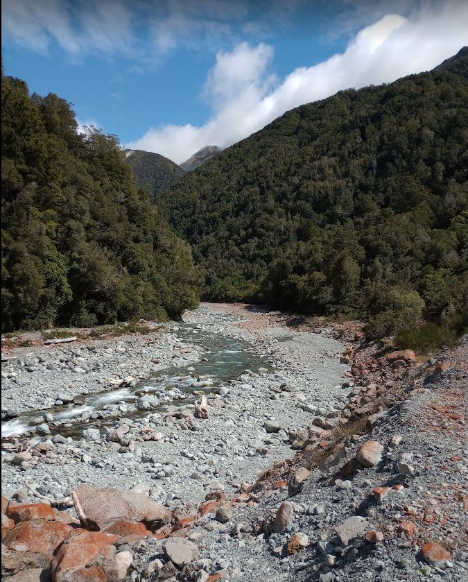
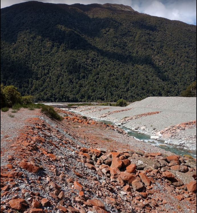
which then flows on to meet the Otira down at State Highway 73,
which then flows to the Taramakau and hence to the coast near Kumara Junction, all the while increasing the stream order. By the time the Taramakau reaches the coast, its order has increased to 6.
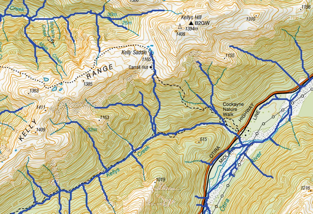
Looking at the River Environment Classification layer (version 1), we can see how the streams in this area have been mapped (and we now know how these were created):
(Darker, thicker lines are from REC, lighter, thinner ones are on the topo map.) From this image you can see that some of the streams on the topomap are underestimated a bit by the REC while others are overestimated.
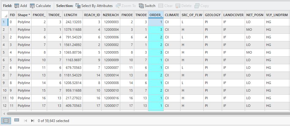
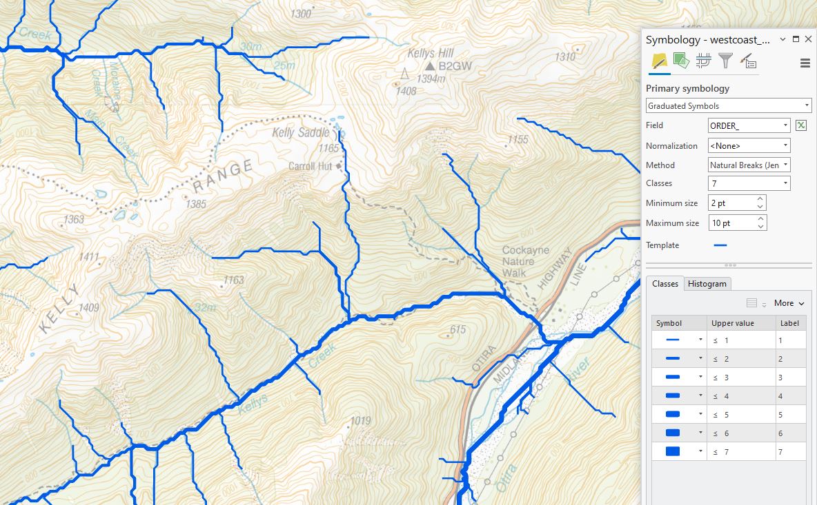
One of the nice things about the River Environment Classification layers is that all reaches have a stream order attribute – it’s the ORDER_ attribute in REC version 1:
I can use this to my advantage and map the rivers using Graduated Symbols with this attribute to make their different sizes a bit more apparent (plus a bit of transparency to the topo basemap to help emphasise the streams):
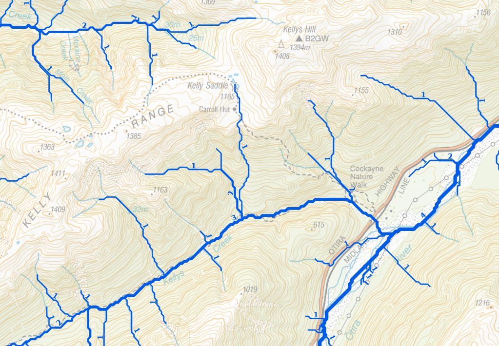
We can go a step further and label the reaches with their order:
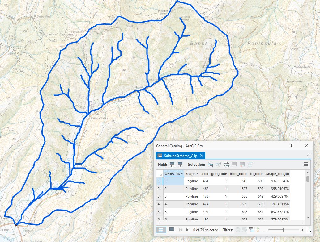
Here we can see stream orders ranging from 1 up to 4 on the Otira River. It may be a good time to raise the question of how these orders got added to the data. After all, there are close to 60,000 reaches in this layer. Hopefully no poor soul had to do this manually… To make life in some small way easier, there is a tool for doing this: the Stream Order tool. Let’s go back to our Kaituna River example and see how we can use this. To keep things simple, I’ve clipped out the stream reaches inside my derived catchment – note the simplicity of the attribute table. There’s not much to it and certainly nothing about stream order:
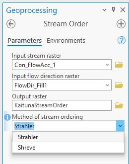
(Each record has a value of 1 for the grid_code attribute.) The stream order tool is pretty straightforward. I need my input stream and flow direction rasters and have to choose a specific method:
Between Shreve and Strahler, the latter is the more common method and we’ll go with that one (this has some detail on the differences). (See here for where these file names came from.)
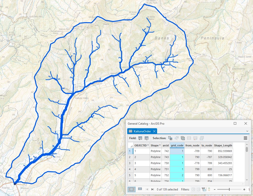
Here’s the output after running Stream Order and converting the raster output to a vector polyline. The grid_code attribute now holds the stream order value, used with Graduated Symbols and labels turned on:
So there you have it – stream order is now baked in.
Over the past two posts we’ve seen how to derive stream networks and catchments and also assign stream order values, giving us the power to create our own stream networks if we need to. (To be fair, NIWA’s already done that for us with the REC layers, but it’s nice to know where that all came from. Ed. Is it?)
Stream order is a pretty fundamental way of categorising river reaches, one of several. To put this all in perspective, the highest order rivers we have in Aotearoa are up to order 8 and include the Clutha, Waitaki, Rangitaiki, Whakatane and Wairoa Rivers. The Amazon River, at 12th order, is the largest in the world.
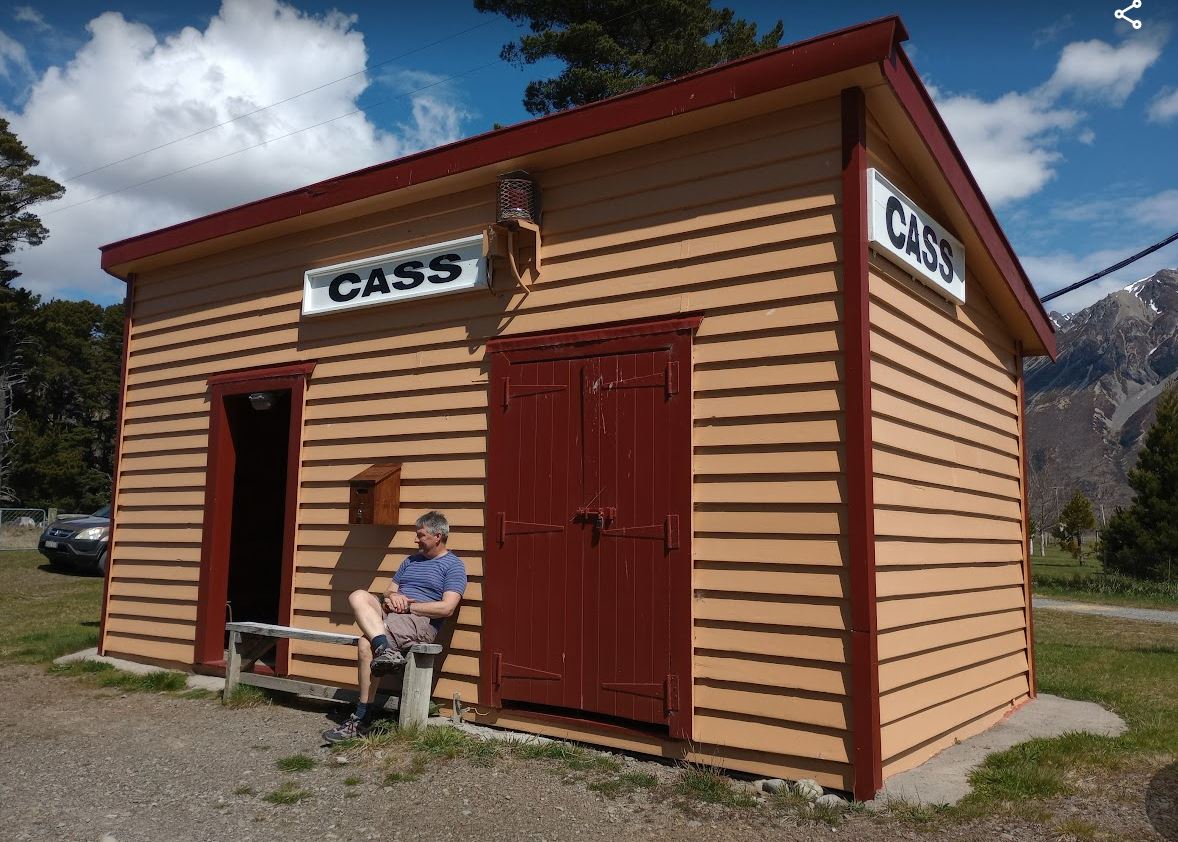
We’ll end this post on an arty note. The highway back to Otautahi takes us past Cass, site of a rightly famous Rita Angus painting of the highest order. I’ve always wanted to stop in an have a look so this time we finally did:
Nice…!
C
